The Moraine is a private planning and environmental advisory practice focused on one landform: the Oak Ridges Moraine. We help landowners, buyers and builders understand what the Oak Ridges Moraine Conservation Plan and the Conservation Authorities will ask of a property before money is committed — then put together the professional team that can carry the file through approval.
Why a Moraine-only practice
A custom home, addition, barn or severance on the Moraine is rarely a simple building permit. The same lot can be subject to the ORMCP designation rules, Part III feature buffers, a Landform Conservation Area cap, a Conservation Authority permit under O. Reg. 41/24, and the local Official Plan and zoning by-law. Each layer brings its own studies, fees and timelines. Our work is to read those layers together, early, and give a clear answer about the pathway, the studies and the budget.
Where we work
The Plan Area covers about 190,000 hectares across 32 municipalities and 9 Conservation Authorities, from Caledon in the west to the Trent River watershed in the east. We organise our coverage in three corridors:
| Corridor | Typical municipalities | Main Conservation Authorities |
|---|---|---|
| West | Caledon and the Peel Region portion of the Moraine, Mono | CVC, TRCA, NVCA |
| Central | King, Aurora, Richmond Hill, Vaughan, Whitchurch-Stouffville, East Gwillimbury | TRCA, LSRCA |
| East | Uxbridge, Pickering, Scugog, Clarington, Port Hope, Cobourg, Cavan Monaghan | CLOCA, GRCA, Kawartha, Otonabee, Lower Trent |
Who we advise
- Landowners planning a new home, addition, garage, pool, barn or secondary suite.
- Estate and rural land buyers who need to know, before waiving conditions, whether the parcel carries Section 7 rights and what studies a build would need.
- Custom home builders scoping pre-consultation checklists and approval schedules.
- Realtors and real estate lawyers advising clients on Moraine restrictions, Conservation Authority clearance and timelines.
- Architects and BCIN designers fitting a design within landform caps and vegetation protection zones.
How a site screening works
Tell us about the property
Municipality, watershed, address or concession and lot, and what you want to build. Results from the Screening Tool or Landform Calculator can be sent with the request.
Desktop review
We check the ORMCP designation, mapped features and regulated areas, Landform Conservation Area category and the applicable Conservation Authority schedule.
Scoping response
You receive the likely statutory pathway, the studies the municipality and authority will expect, a soft-cost range and a realistic timeline, normally within 1–2 business days of a complete request.
Where the file goes ahead, we coordinate the professionals it needs: Registered Professional Planners (RPP/MCIP) for applications and Committee of Adjustment or Ontario Land Tribunal matters, ecologists for Natural Heritage Evaluations, P.Geo. hydrogeologists for water balance and well work, civil engineers for grading and stormwater, certified arborists, and Ontario Land Surveyors (OLS) for topographic and boundary survey.
Independence
The Moraine (themoraine.com) is a private planning and environmental advisory practice, independent of the Province of Ontario, municipal governments, and Ontario Conservation Authorities.
Our tools and guides summarise public regulations and published fee schedules. Approvals are granted only by the municipality, the Conservation Authority and, where applicable, the province or the Ontario Land Tribunal.
Contact
- Email: planning@themoraine.com
- Advisory hours: Monday – Friday, 8:30 AM – 5:00 PM ET
- Service corridor: Oak Ridges Moraine Corridor — York Region, Peel Region, Durham Region, Simcoe County & Northumberland, Ontario
Photography
Landscape photographs on this site are used under the Pexels licence:
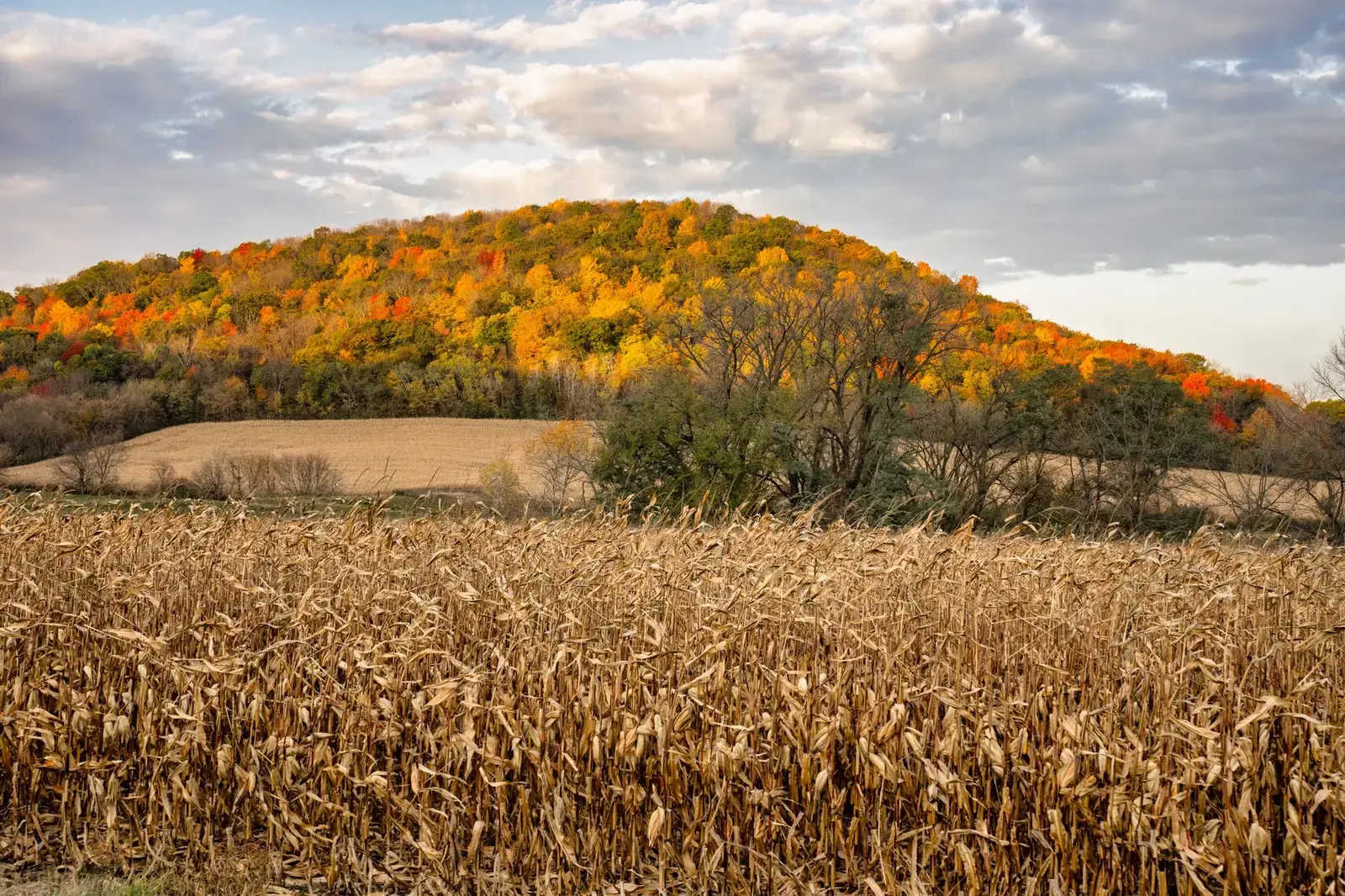
- Autumn hardwood ridge rising above a harvested cornfield in rolling farm country — Tom Fisk, via Pexels
- Boardwalk crossing a still wetland pond framed by autumn woodland — Ghost Acolyte, via Pexels
- Canada geese on a lily-covered kettle pond edged with cattails — Élise Prioleau, via Pexels
- Rolling hummocky hills and hedgerows in morning mist — Rossend Gri i Casas, via Pexels
- Aerial view of farm fields, hedgerows and a rural homestead — Despoina Apostolidou, via Pexels
- Surveyor with a total station on a graded building site — Nelson Axigoth, via Pexels
- Topographic map with a compass and pencil used for site planning — Larry Hyler, via Pexels
- Shaded forest pond and seepage area in a mixed woodland — Ali Kazal, via Pexels
- Round hay bales in a cut field below a treeline — Heru Vision, via Pexels
- Detached country homes behind a rail fence on open rural land — Lalada, via Pexels
- Snow-covered deciduous woodlot in winter — Masood Aslami, via Pexels