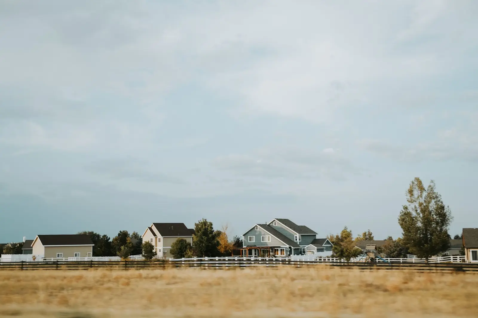
Why November 15, 2001 matters
The Oak Ridges Moraine Conservation Plan (ORMCP, O. Reg. 140/02, amended by O. Reg. 141/17) took its baseline on November 15, 2001. Uses, buildings and lots that lawfully existed on that date keep protections that newer ones do not. For an estate buyer, the single most valuable fact about a rural Moraine parcel is often whether it was a legal lot of record, and what its zoning permitted, on that date.
Two sections of the Plan do most of the work for houses:
- Section 6 — existing uses. Uses, buildings and structures that legally existed on November 15, 2001 may continue. Under s. 6(2) they may be expanded on the same lot, with no change in use, if the expansion does not adversely affect the ecological integrity of the Plan Area.
- Section 7 — previously authorized single dwellings. A single dwelling, with its normal accessory structures, may be built on a lot of record where the zoning by-law would have permitted it on November 15, 2001, provided the applicant demonstrates, to the extent possible, that it will have no adverse effect on ecological integrity.
Before you waive conditions. A lot created after November 15, 2001, or a lot whose zoning did not permit a dwelling on that date, may have no Section 7 right in a Natural Core or Natural Linkage Area. Confirm lot-of-record status from title and historical zoning before an offer goes firm.
What each project type usually needs
| Project | Primary ORMCP test | Studies commonly required | Notes |
|---|---|---|---|
| New custom home on a pre-2001 lot | s. 7 — previously authorized single dwelling | Planning brief, NHE if within 120 m of a feature, scoped hydrogeology / water balance, landform plan if in an LCA, grading and LID stormwater | Most common estate file; site plan control applies in most Moraine municipalities |
| Addition to a pre-2001 dwelling | s. 6(2) — expansion of existing building | Scoped NHE or letter where near features; landform check if in an LCA | Expansion must stay on the same lot with no change of use |
| Detached garage, pool, barn or workshop | s. 6(2) or s. 7 accessory structure | Usually scoped; grading and CA permit where within regulated areas | Counts toward Section 30 disturbance and impervious limits |
| Secondary suite / ARU | Single dwelling definition and local Official Plan conformity | Septic capacity review, zoning, sometimes water supply evidence | Generally contemplated in Countryside and Settlement Areas; restricted in Natural Core and Linkage |
| Replacement dwelling | s. 6 existing use | Footprint comparison, NHE / CA permit if relocated toward features | Relocation closer to a feature usually triggers full review |
Where on the lot: buffers and landform
Even with a clear Section 7 right, the house still has to fit Part III of the Plan. The two rules that most often move a building envelope are:
- 30 m minimum vegetation protection zone (MVPZ). Development and site alteration are prohibited within the MVPZ around wetlands, permanent and intermittent streams, seepage areas, fish habitat and significant woodlands (ss. 22 and 26). Footprints, septic beds and grading are relocated outside it wherever possible.
- 120 m minimum area of influence. Any development or site alteration within 120 m of a key natural heritage feature or key hydrologic feature triggers a Natural Heritage Evaluation (s. 23) and/or a hydrological evaluation (s. 26).
- Landform Conservation Areas (s. 30). In Category 1 no more than 25% of the net developable area may be disturbed and no more than 15% made impervious; in Category 2 the limits are 50% and 20%. Long rural driveways push estate homes over the impervious cap more often than the house itself. Test your concept in the Section 30 Landform Calculator.
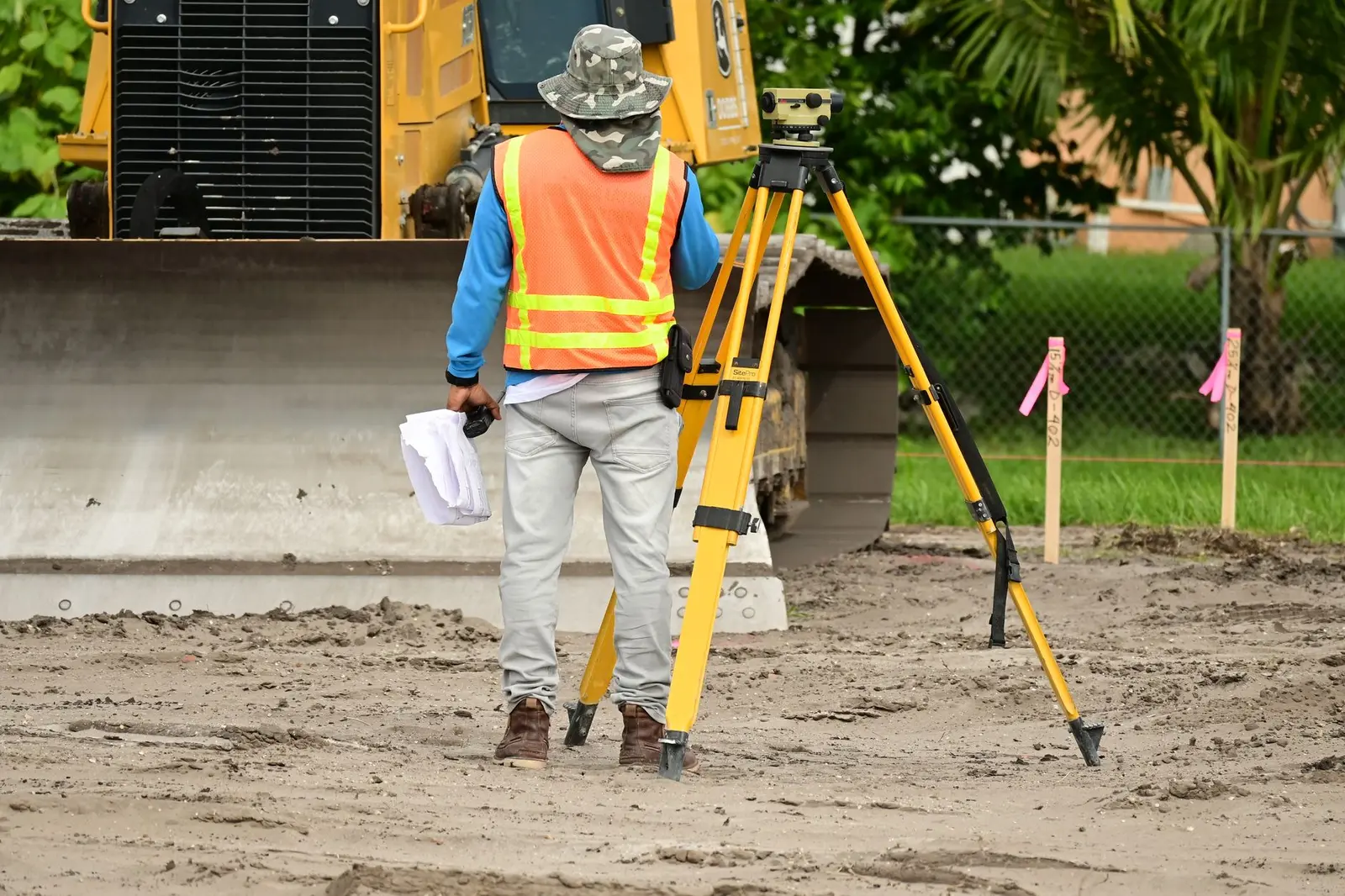
Secondary suites and additional residential units
Ontario's push for additional residential units (ARUs) meets a firmer line on the Moraine. Under the ORMCP single-dwelling definitions, one secondary dwelling unit is generally contemplated within an authorized single dwelling in Countryside and Settlement Areas where the local Official Plan and zoning by-law allow it. In Natural Core and Natural Linkage Areas secondary units remain strictly restricted. Detached garden suites raise additional disturbance, septic and servicing questions and are reviewed case by case.
Municipal nuances across the Moraine
| Municipality | What to expect |
|---|---|
| King Township | Rigorous ORMCP enforcement on custom estate homes: site plan review, grading, dark-sky lighting and cost-recovery engineering deposits, despite Bill 23 provincial changes. |
| Town of Caledon | Consolidated fees by-law separates fast-track or scoped ORM site plans (about $325 + HST pre-consultation) from complex streams ($2,100 – $8,600+). Properties may fall under TRCA, CVC or Grand River watersheds. |
| Township of Uxbridge | High scrutiny around regional forests, aquifer recharge areas and trail and visual corridors; parcels can straddle LSRCA, TRCA and CLOCA jurisdiction. |
| Town of Whitchurch-Stouffville | A Site Plan Concierge process for eligible rural and estate files, with strict ORMCP grading, LID stormwater and natural heritage buffer requirements. |
Typical soft-cost budget for a custom home file
For a new single dwelling on a pre-2001 Countryside lot within 120 m of a woodland, a realistic consultant budget in Southern Ontario looks like this before construction drawings:
| Item | Typical range |
|---|---|
| Planning consultant (RPP): pre-consultation, planning brief, site plan | $8,000 – $18,000 |
| Natural Heritage Evaluation | $15,000 – $40,000 |
| Scoped hydrogeology / single-lot water balance | $8,000 – $15,000 |
| Landform conservation plan and OLS topographic survey (if in an LCA) | $8,000 – $22,000 |
| Grading, drainage and LID stormwater engineering | $5,000 – $18,000 |
| Arborist report and tree protection plan | $2,500 – $7,500 |
| Conservation Authority O. Reg. 41/24 permit | See 2026 fee schedule |
A file with no regulated features nearby and no landform category can come in well below these totals; a file needing multi-season wildlife surveys can take 12–18 months. The ORMCP Screening Tool builds an itemized estimate for your specific inputs.
How we help
- Confirm designation, lot-of-record status, landform category and distances to features from public mapping and title information.
- Set out the Section 6 or Section 7 pathway and the studies the municipality and CA are likely to require at pre-consultation.
- Coordinate RPP planning, ecology, hydrogeology, OLS survey and civil teams so study seasons and design decisions line up.
Sources: Oak Ridges Moraine Conservation Plan, O. Reg. 140/02 (as amended by O. Reg. 141/17), ss. 6, 7, 22, 23, 26 and 30; O. Reg. 41/24; municipal fee by-laws for Caledon, King, Uxbridge and Whitchurch-Stouffville. Summaries are preliminary; requirements are confirmed at municipal and Conservation Authority pre-consultation. See methodology.