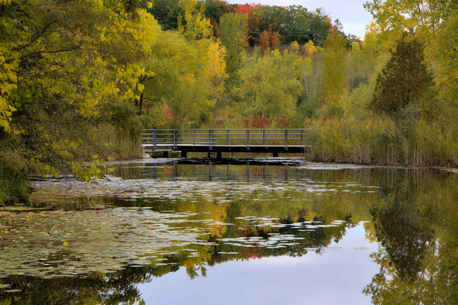
What counts as a key feature
Part III of the ORMCP protects two families of features:
- Key natural heritage features (KNHF): wetlands, significant portions of habitat of endangered, rare and threatened species, fish habitat, areas of natural and scientific interest (life science), significant valleylands, significant woodlands, significant wildlife habitat and sand barrens, savannahs and tallgrass prairies.
- Key hydrologic features (KHF): permanent and intermittent streams, wetlands, kettle lakes and their catchment areas, and seepage areas and springs.
Many features are mapped by the Province, the municipality or the Conservation Authority, but mapping is a starting point. Feature limits are confirmed in the field by an ecologist, often with CA staff on site.
The two distances that drive the file
| Zone | Distance | Rule | Section |
|---|---|---|---|
| Minimum vegetation protection zone (MVPZ) | 30 m from the feature (wider where the NHE says so) | Development and site alteration prohibited; zone kept in natural self-sustaining vegetation | ss. 22, 26 |
| Minimum area of influence | 120 m from the feature | Any development or site alteration triggers a Natural Heritage Evaluation and/or hydrological evaluation | ss. 23, 26 |
| Beyond 120 m | More than 120 m | No ORMCP feature study triggered by distance alone; designation and landform rules still apply | — |
The 30 m zone is a minimum. Steep slopes, seepage areas or sensitive species can lead the NHE, or the CA, to recommend a wider vegetation protection zone. A building envelope drawn exactly at 30 m is not guaranteed.
What the NHE has to show
Under s. 23, an NHE must:
- Identify and delineate every KNHF and KHF within the study area, including those on neighbouring land.
- Determine whether the 30 m MVPZ is sufficient or should be enlarged, based on slope, sensitivity and the feature's function.
- Describe the proposed development and site alteration, including grading, septic, driveway and construction access.
- Show that the project will have no adverse effects on the feature or its ecological functions, and set out mitigation: setbacks, restoration planting, construction fencing, timing windows and lighting controls.
NHEs are usually coordinated with the hydrological evaluation because wetlands, seepage areas and streams are both natural heritage and hydrologic features.
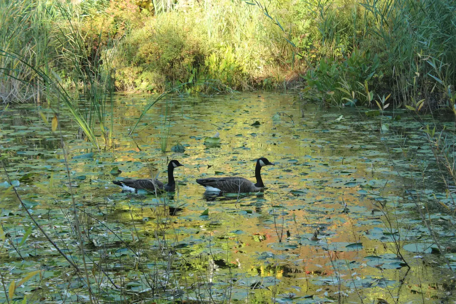
Survey seasons: the schedule risk nobody budgets for
Ontario field protocols tie many surveys to narrow seasonal windows. Missing one can push a file back by up to a year.
| Survey | Typical window | Why it matters |
|---|---|---|
| Amphibian breeding (call counts) | April – June, evening visits | Wetland significance and habitat use |
| Breeding birds | Late May – early July, dawn visits | Species at risk and significant wildlife habitat |
| Botanical inventory (ELC) | Spring ephemerals in May; full flora June – August | Vegetation communities and feature limits |
| Bat habitat / maternity roosts | Leaf-off snag survey; acoustic June | Species at risk under the Endangered Species Act, 2007 |
| Turtle and snake surveys | Spring emergence, April – June | Habitat of threatened species |
| Wetland boundary staking | Growing season, with CA staff | Fixes the line the 30 m and 120 m zones are measured from |
A file that starts in August may not be able to complete amphibian and breeding bird work until the following June. This is why the Screening Tool extends the timeline to 12–18+ months when an NHE is triggered for new development in a Natural Core or Natural Linkage Area.
Typical cost
| Scope | Typical range |
|---|---|
| Scoped NHE or ecological letter (small addition, single-season) | $5,000 – $15,000 |
| Full NHE for a single dwelling within 120 m of a feature | $15,000 – $25,000 |
| Multi-season NHE with species at risk work, severance or site plan | $25,000 – $40,000+ |
| Arborist report and tree protection plan (often paired) | $2,500 – $7,500 |
Budgets rise with the number of features, the number of seasons, species at risk screening and CA comment rounds. Conservation Authority permit fees are separate; compare them on the 2026 fee schedule.
How to reduce NHE scope
- Site the house, septic bed and driveway as far from features as the lot allows; moving beyond 120 m can remove the trigger altogether.
- Commission the feature delineation early, before design, so the architect works inside a known envelope.
- Use the existing disturbed area (old building pad, lawn) rather than clearing new woodland.
- Combine NHE and hydrological fieldwork where the same features are involved.
Working with the Conservation Authority
Most features that trigger an NHE also fall within areas regulated by the Conservation Authority under O. Reg. 41/24, so the same report usually supports both the municipal planning application and the CA permit. Agree the terms of reference with CA ecology staff before fieldwork starts: which features, which surveys, which seasons and what study area. A terms-of-reference letter avoids the most expensive outcome, a report that has to be redone because a survey season was missed or a feature was left out. Under s. 7 of O. Reg. 41/24 the permit application is not complete until required studies are submitted, so the NHE often sets the date the CA review clock starts.
Read how buffers interact with lot-of-record rights in the custom homes guide, and with landform limits in the landform conservation guide.
Sources: O. Reg. 140/02, ss. 22, 23 and 26; Ontario Ecological Land Classification and standard provincial survey protocols; Endangered Species Act, 2007. Survey windows are typical and are confirmed with the Conservation Authority and municipality at pre-consultation. See methodology.