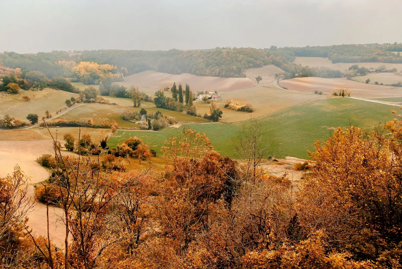
What Section 30 protects
Landform Conservation Areas are mapped by the Province where the Moraine's topography is most distinctive. Category 1 covers the most complex and sensitive terrain: steep slopes, kame hills, kettle depressions and ridges. Category 2 covers moderately complex landform. Outside these areas Section 30's numerical caps do not apply, although municipal grading by-laws still do.
The statutory limits
| Category | Maximum disturbed area | Maximum impervious surface | Typical terrain |
|---|---|---|---|
| Category 1 | 25% | 15% | Steep slopes, kames, kettles, ridges |
| Category 2 | 50% | 20% | Moderately rolling, hummocky terrain |
| Outside an LCA | No s. 30 cap | No s. 30 cap | Municipal grading and site plan rules still apply |
Disturbed area includes everything that changes the land surface: the house, garage and outbuildings, driveway and parking, patios and pool deck, the septic bed and mantle, and all graded, filled, re-sloped or cleared lawn areas. Impervious surface is the subset that sheds water: roofs, asphalt or concrete driveways, patios, walkways and pool decks. Every impervious square metre therefore counts twice — toward both caps.
Driveways decide most files. A 200 m rural driveway, 5 m wide, is 1,000 m² of impervious surface. On a 2 ha (20,000 m²) Category 1 lot that alone is 5% of the 15% impervious cap, before the house, garage or patio. Set the house closer to the road, narrow the driveway or switch to permeable pavers.
A worked example
| Element | Area (m²) | Counts toward |
|---|---|---|
| House footprint | 450 | Impervious + disturbed |
| Detached garage | 120 | Impervious + disturbed |
| Asphalt driveway (160 m × 5 m) | 800 | Impervious + disturbed |
| Patio, walkways and pool deck | 230 | Impervious + disturbed |
| Septic bed and mantle | 600 | Disturbed |
| Grading and cleared lawn envelope | 2,300 | Disturbed |
| Total impervious | 1,600 (8.0%) | Cap 15% = 3,000 m² → passes |
| Total disturbed | 4,500 (22.5%) | Cap 25% = 5,000 m² → passes, 500 m² left |
Run your own numbers, in square metres, square feet or acres, with the Section 30 Landform Calculator. It reports the remaining allowance or the reduction needed for each cap.

What a landform conservation plan contains
- OLS topographic survey with contours (commonly at 0.5 m intervals), slopes, existing structures, trees and feature limits.
- Net developable area calculation, excluding key natural heritage and hydrologic features and their minimum vegetation protection zones.
- Disturbance and impervious calculations against the Category 1 or 2 caps, with a site plan showing every disturbed area.
- Grading design that follows natural contours, limits cut and fill and avoids flattening kames or filling kettles.
- Stormwater and infiltration measures (low impact development) coordinated with the water balance.
- Restoration of temporarily disturbed areas with native vegetation.
Design strategies that keep a plan under the caps
- Shorten and narrow the driveway: place the house nearer the road; a 4 m driveway with passing bays instead of 6 m throughout.
- Permeable interlocking pavers and infiltration trenches: where the municipality accepts them as reducing effective impervious area.
- Tighten the grading limit: walk-out designs that work with the slope instead of a flat pad; retaining walls only where they save disturbance.
- Relocate or compact the septic mantle: a tertiary system can reduce bed size in some cases.
- Combine accessory uses: an attached rather than detached garage; a smaller pool deck.
- Keep lawn to a defined envelope and let the rest of the lot remain in meadow or woodland.
How the net developable area works
Section 30 caps are expressed as a per cent of the total site area, but all disturbance has to fall within the net developable area, which leaves out key natural heritage features, key hydrologic features and their minimum vegetation protection zones. A 4 ha lot with a 1 ha woodland and its 30 m buffer may have a much smaller envelope than its deed suggests. Municipalities differ in how they present the calculation, so the plan should show total site area, excluded areas and net developable area side by side, and flag any proposed disturbance that would fall outside the net developable area altogether. The Landform Calculator accepts an optional net developable area for exactly this check.
Typical cost
| Item | Typical range |
|---|---|
| Landform conservation plan and OLS topographic survey — Category 2 | $8,000 – $15,000 |
| Landform conservation plan and OLS topographic survey — Category 1 | $12,000 – $22,000 |
| Grading, drainage and LID stormwater engineering | $5,000 – $18,000 |
Landform review sits alongside the NHE and the Section 6/7 pathway; the Screening Tool brings all three into one estimate. Fee tiers for the Conservation Authority permit are on the 2026 fee schedule, and the policy background is in the ORMCP policy guide.
Sources: O. Reg. 140/02, s. 30 (Landform Conservation Areas) and Part III; provincial Landform Conservation Area mapping. The worked example is illustrative. Limits are applied by the municipality at site plan review and confirmed at pre-consultation. See methodology.